The Crown of Northern Norway | Senja, Norway
Senja, Troms, Norway • Aerial 360° Photograph
Have you heard of Segla? If you haven't, you're about to understand why photographers and nature lovers travel from all over the world to stand at its foot.
Segla is one of those mountains that stops you in your tracks. Its dramatic shape rises sharply above the small fishing village of Fjordgård, and the view from above is nothing short of extraordinary. In this 360° photograph, taken from above Fjordgård, you can explore the full panorama towards Segla and the wild landscape surrounding it.
The image was captured with a technique I use for aerial 360° virtual tour services for hotels, destinations, and tourism brands.
About Senja
Senja is raw, wild, and wildly remote. The island has no interest in impressing you with luxury, but if you're the kind of person who'd rather sleep in a tent near a mountain top than in a five-star hotel, this is your kind of place.
The hike to Segla takes around four hours on a moderately difficult path. Challenging enough to feel earned, accessible enough that you don't need to be a seasoned mountaineer to get there.
Fjordgård
Look down in the 360° photograph, and you'll spot a small cluster of buildings at the foot of the mountain. That's Fjordgård, a tiny fishing village that somehow manages to feel like the most perfect place on earth when Segla looms above it.
Explore Other Virtual Tours You Might Enjoy
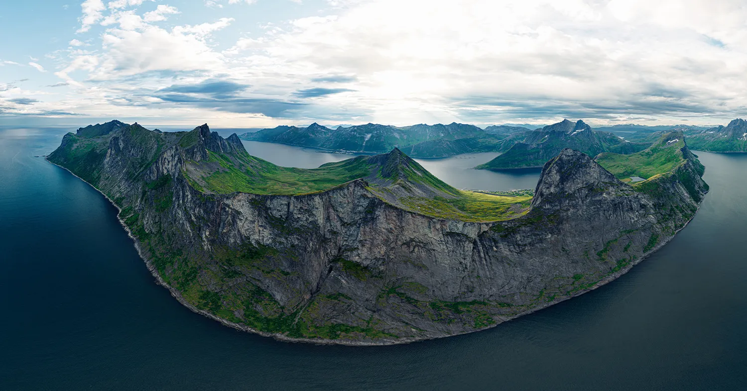
The Mighty Segla and Its Friends
Senja, Norway
A bird's-eye view of one of Norway's most striking peaks.
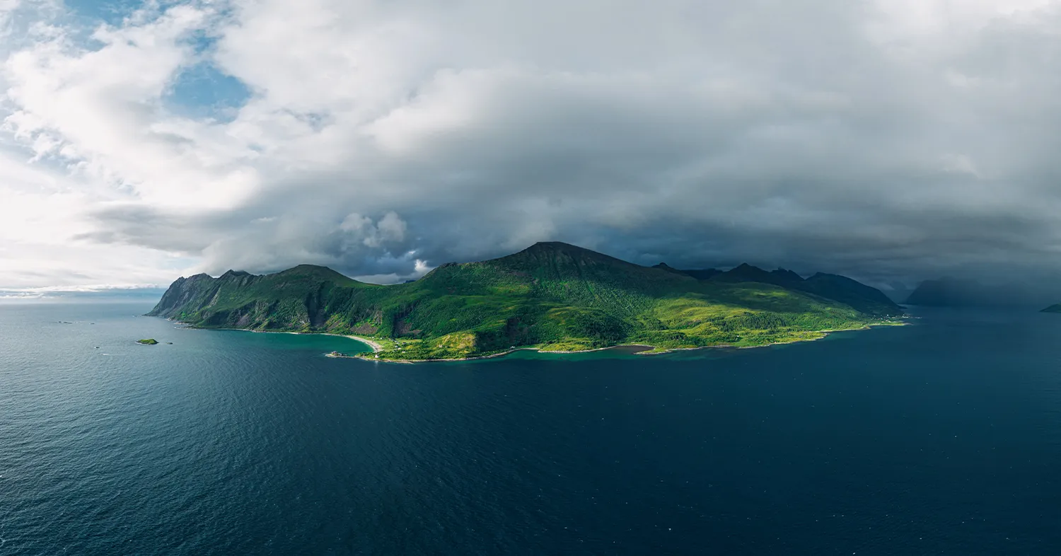
Storm is Coming Over Senja
Senja, Norway
An aerial 360° view of Senja caught between light and storm.