The Mighty Segla and Its Friends | Senja, Norway
Senja, Troms, Norway • Aerial 360° Photograph
Look around one of the most dangerous abysses of Norway in this 360° photograph.
All mountain hikes carry some risk. But the rock wall you can see in this aerial photograph is something else entirely. This is Segla, arguably the most famous mountain on Senja, and one of the most recognizable peaks in all of Northern Norway.
From the ground, you'd never see it like this. Aerial photography puts you above it all, safely. Stay with me after the panoramic image and I'll tell you exactly why it's more dangerous than it looks.
Danger Lies in Beauty
Look closely, or compare with the photograph taken from the other side, and you'll notice that the hiking path to the foot of Segla rises sharply. It's tempting, almost irresistible, to walk right to the edge and take a selfie with Segla looming behind you. Many do. The problem is that one wrong step, combined with a strong wind blowing in from Fjordgård, and there's nothing between you and a very long fall. It's not a hypothetical risk. There have been tragic accidents here.
The Other Peaks
If you explore the panoramic photograph carefully, you'll spot two other marked peaks beside Segla: Hesten and Inste Kongen. Both are accessible on foot for serious outdoor enthusiasts. Hesten is challenging. Inste Kongen, which you can reach from Hesten, is harder still and widely considered the most difficult hike on Senja. The views from the summit are extraordinary. The trail to get there will make sure you've earned them.
Explore Other Virtual Tours You Might Enjoy
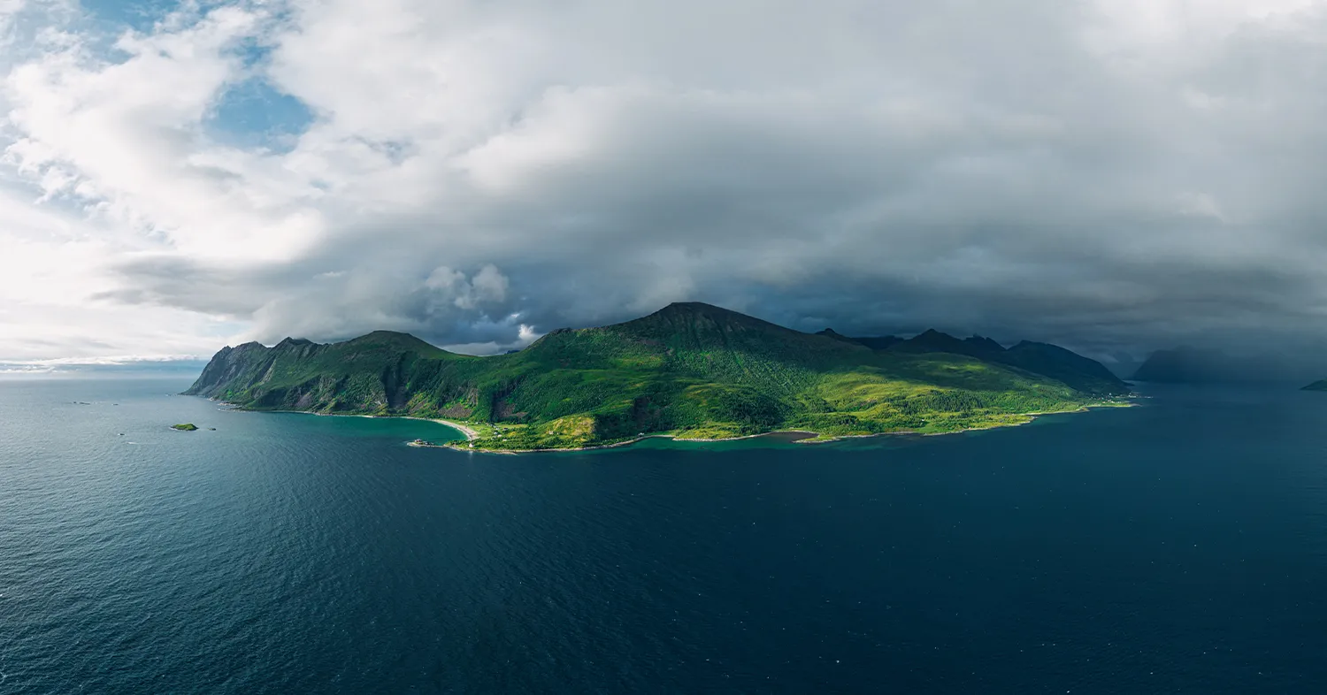
Storm is Coming Over Senja
Senja, Norway
An aerial 360° view of Senja caught between light and storm.
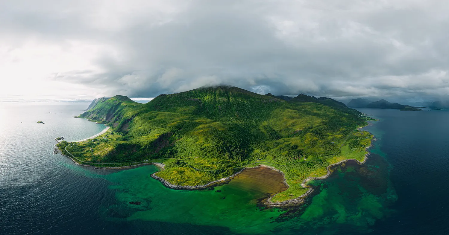
The Green Island
Senja, Norway
Bluish-green water and sun-drenched shores on Senja island.