Above Lakes & Peaks | Lofoten, Norway
Lofoten, Nordland, Norway • Aerial 360° Photograph
Snow patches, steep peaks, blue lakes, clear sky, and beautiful green foliage. What else could you wish for?
This aerial 360° photograph was taken not far from Munken, one of the most popular hiking destinations in Lofoten. Mountains, fjords, lakes, and sea as far as you can see. Drone photography turns a view like this into something you can actually explore, not just glance at.
Above the Intersection of Three Lakes
Look down for a moment, away from the cloud-patterned peaks, and you'll notice something unusual. The photograph was taken from directly above not one but three lakes, their shores meeting at a single point. Krokvatnet, Tennesvatnet, and Fjerddalsvatnet. They break the continuity of the mountain range and make an already extraordinary landscape even harder to look away from.
Explore Other Virtual Tours You Might Enjoy
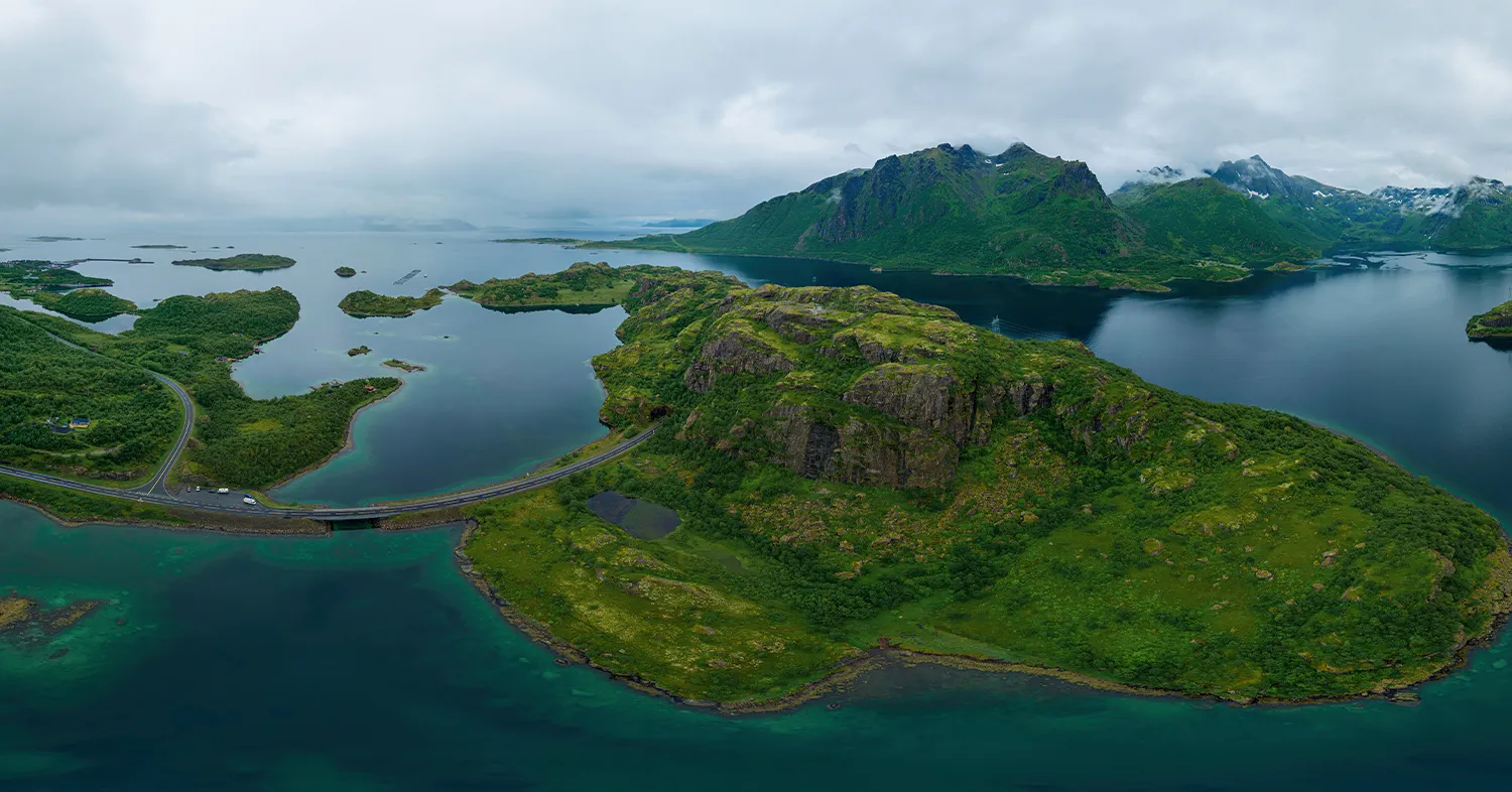
Northern Crossroads
Lofoten, Norway
Where Lofoten's roads, mountains, and sea converge.
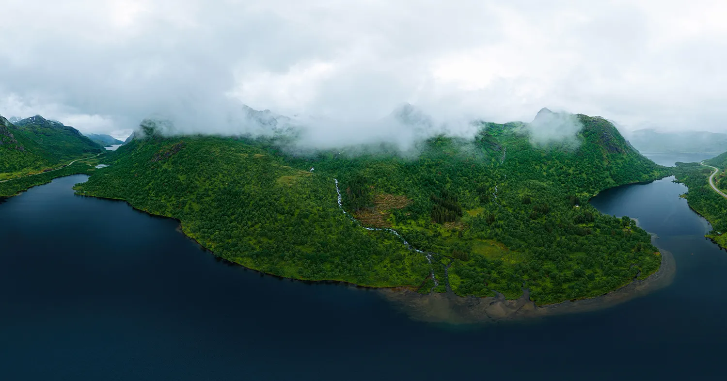
Green Dreams
Lofoten, Norway
An aerial 360° view of Lofoten under its moodier, greener skies.